Oxcroft seen from Damsbrook Farm
Introduction
The photograph on this page of Oxcroft seen from Damsbrook Farm by Jonathan Clitheroe as part of the Geograph project.
The Geograph project started in 2005 with the aim of publishing, organising and preserving representative images for every square kilometre of Great Britain, Ireland and the Isle of Man.

There are currently over 7.5m images from over 14,400 individuals and you can help contribute to the project by visiting https://www.geograph.org.uk
Oxcroft seen from Damsbrook Farm
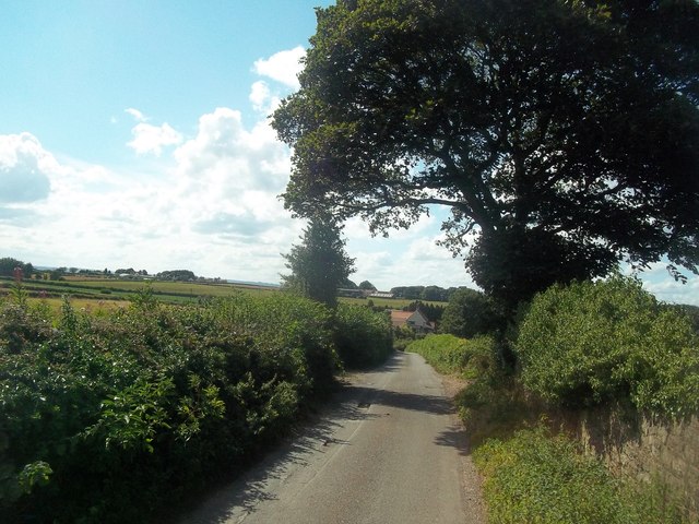
Image: © Jonathan Clitheroe Taken: 9 Aug 2014
The dwelling visible in the centre of picture is prosaically titled 'Twenty Three Oxcroft Estate'.
Images are licensed for reuse under creativecommons.org/licenses/by-sa/2.0
Image Location
Latitude
53.256991
Longitude
-1.270114