Cut Throat House
Introduction
The photograph on this page of Cut Throat House by Derek Harper as part of the Geograph project.
The Geograph project started in 2005 with the aim of publishing, organising and preserving representative images for every square kilometre of Great Britain, Ireland and the Isle of Man.

There are currently over 7.5m images from over 14,400 individuals and you can help contribute to the project by visiting https://www.geograph.org.uk
Cut Throat House
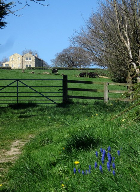
Image: © Derek Harper Taken: 18 Apr 2014
On, rather disconcertingly for lone walkers like me, Cut Throat Lane. Fortunately the Nidderdale Way doesn't go that way. Grape hyacinths in the foreground. This is from the stretch of road shown in Image
Images are licensed for reuse under creativecommons.org/licenses/by-sa/2.0
Image Location


Leaflet Map data © OpenStreetMap
Latitude
54.059608
Longitude
-1.607344