The Stone House, Egmanton
Introduction
The photograph on this page of The Stone House, Egmanton by Alan Murray-Rust as part of the Geograph project.
The Geograph project started in 2005 with the aim of publishing, organising and preserving representative images for every square kilometre of Great Britain, Ireland and the Isle of Man.

There are currently over 7.5m images from over 14,400 individuals and you can help contribute to the project by visiting https://www.geograph.org.uk
The Stone House, Egmanton
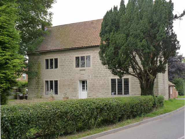
Image: © Alan Murray-Rust Taken: 8 Aug 2014
This house stands out amongst the almost ubiquitous use of brick for domestic buildings in the area. Dated 1734 on the stone above the doorway. Listed Grade II.
Images are licensed for reuse under creativecommons.org/licenses/by-sa/2.0
Image Location
Latitude
53.211865
Longitude
-0.905807