Nidderdale Way at Shaw Mills
Introduction
The photograph on this page of Nidderdale Way at Shaw Mills by Derek Harper as part of the Geograph project.
The Geograph project started in 2005 with the aim of publishing, organising and preserving representative images for every square kilometre of Great Britain, Ireland and the Isle of Man.

There are currently over 7.5m images from over 14,400 individuals and you can help contribute to the project by visiting https://www.geograph.org.uk
Nidderdale Way at Shaw Mills
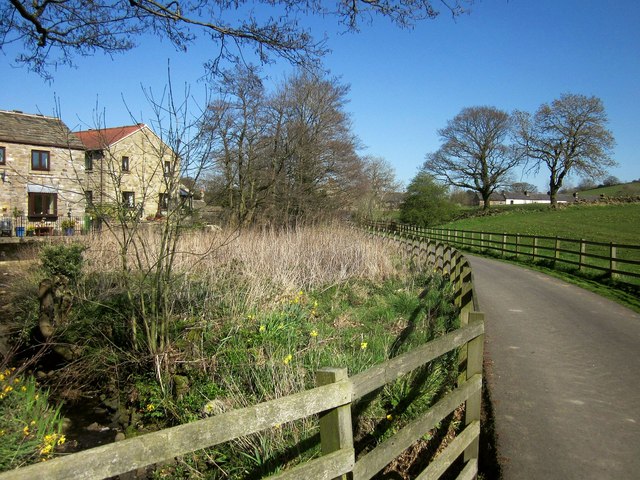
Image: © Derek Harper Taken: 18 Apr 2014
Taken a little further along the Nidderdale Way from Image], with a small trintray of the Thornton Beck flowing towards, on the extreme left, part of the listed Lower Mill Cottages http://www.britishlistedbuildings.co.uk/en-330950-mill-cottages-bishop-thornton-north-york .
Images are licensed for reuse under creativecommons.org/licenses/by-sa/2.0
Image Location


Leaflet Map data © OpenStreetMap
Latitude
54.056924
Longitude
-1.610883