All site traffic and deliveries this way, Station Road, Pontypool
Introduction
The photograph on this page of All site traffic and deliveries this way, Station Road, Pontypool by Jaggery as part of the Geograph project.
The Geograph project started in 2005 with the aim of publishing, organising and preserving representative images for every square kilometre of Great Britain, Ireland and the Isle of Man.

There are currently over 7.5m images from over 14,400 individuals and you can help contribute to the project by visiting https://www.geograph.org.uk
All site traffic and deliveries this way, Station Road, Pontypool
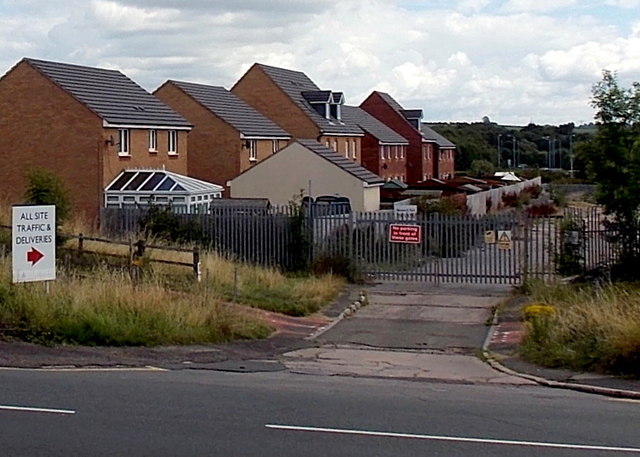
Image: © Jaggery Taken: 9 Aug 2014
Opposite the Austin Road junction, http://www.geograph.org.uk/photo/4113300 a sign points towards locked grey gates. A notice inside the site shows PRIVATE LAND - NETWORK RAIL. The nearly 200 metre long site is between houses in St Dunstan's Close to the north (on the left here) and Parc Panteg to the south.
Images are licensed for reuse under creativecommons.org/licenses/by-sa/2.0
Image Location
Latitude
51.680287
Longitude
-3.020205