High Mill
Introduction
The photograph on this page of High Mill by Derek Harper as part of the Geograph project.
The Geograph project started in 2005 with the aim of publishing, organising and preserving representative images for every square kilometre of Great Britain, Ireland and the Isle of Man.

There are currently over 7.5m images from over 14,400 individuals and you can help contribute to the project by visiting https://www.geograph.org.uk
High Mill
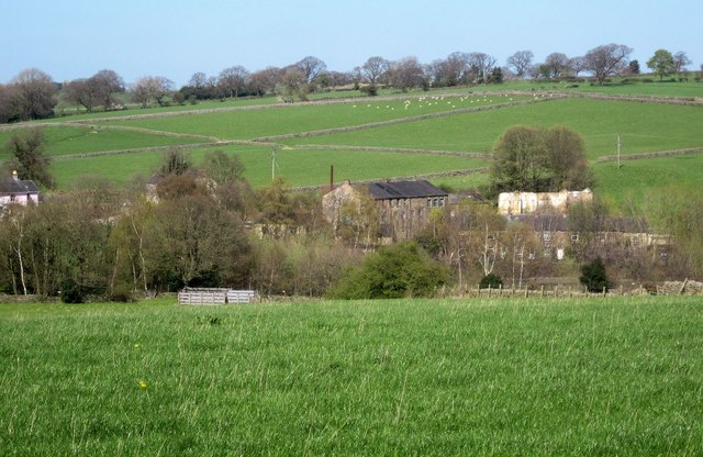
Image: © Derek Harper Taken: 18 Apr 2014
From the same point as Image], looking to the left to the Thornton Beck valley. The mill was in use for spinning silk until soon after the First World War http://en.wikipedia.org/wiki/Shaw_Mills . Some cottages accompany it.
Images are licensed for reuse under creativecommons.org/licenses/by-sa/2.0
Image Location
Latitude
54.058739
Longitude
-1.616518