Towards the Thornton Beck valley
Introduction
The photograph on this page of Towards the Thornton Beck valley by Derek Harper as part of the Geograph project.
The Geograph project started in 2005 with the aim of publishing, organising and preserving representative images for every square kilometre of Great Britain, Ireland and the Isle of Man.

There are currently over 7.5m images from over 14,400 individuals and you can help contribute to the project by visiting https://www.geograph.org.uk
Towards the Thornton Beck valley
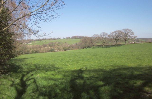
Image: © Derek Harper Taken: 18 Apr 2014
Taken from just the other side of the gateway shown in Image], looking to the left, so the hedge on the left is the other side of the hedge shown in Image Up the hill on the left is High Mill Farm; the houses in the centre, only really visible at larger sizes, are at High Mill itself. Behind the end of the line of oaks on the right is a disused quarry.
Images are licensed for reuse under creativecommons.org/licenses/by-sa/2.0
Image Location
Latitude
54.058214
Longitude
-1.620953