Narrowboat on the Witham Navigation
Introduction
The photograph on this page of Narrowboat on the Witham Navigation by David Dixon as part of the Geograph project.
The Geograph project started in 2005 with the aim of publishing, organising and preserving representative images for every square kilometre of Great Britain, Ireland and the Isle of Man.

There are currently over 7.5m images from over 14,400 individuals and you can help contribute to the project by visiting https://www.geograph.org.uk
Narrowboat on the Witham Navigation
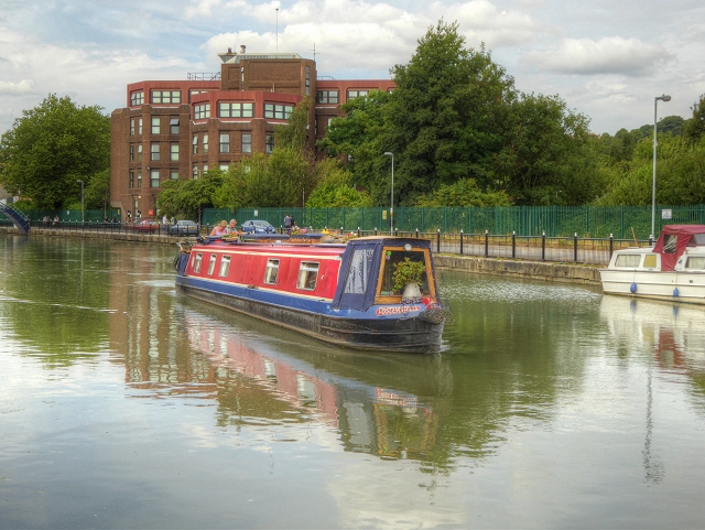
Image: © David Dixon Taken: 5 Aug 2014
Narrowboat "Foster's Folly" on the Witham Navigation, just to the east of Lincoln city centre. The River Witham (Witham Navigation) is navigable for 36 miles from Lincoln, High Bridge (the Glory Hole), where it joins the Fossdyke Canal, to the mouth of the river at Hobhole Drain.
Images are licensed for reuse under creativecommons.org/licenses/by-sa/2.0
Image Location
Latitude
53.228066
Longitude
-0.53133