Farm - North Frodingham
Introduction
The photograph on this page of Farm - North Frodingham by Stephen Horncastle as part of the Geograph project.
The Geograph project started in 2005 with the aim of publishing, organising and preserving representative images for every square kilometre of Great Britain, Ireland and the Isle of Man.

There are currently over 7.5m images from over 14,400 individuals and you can help contribute to the project by visiting https://www.geograph.org.uk
Farm - North Frodingham
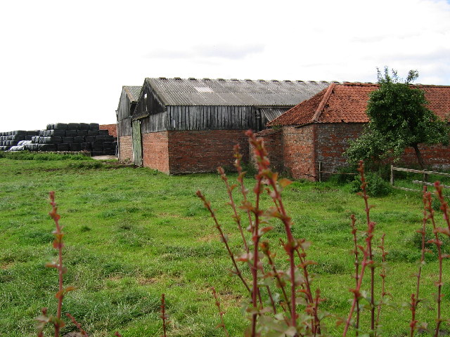
Image: © Stephen Horncastle Taken: 20 Aug 2005
View from the B1249 which runs EW through the village.
Images are licensed for reuse under creativecommons.org/licenses/by-sa/2.0
Image Location
Latitude
53.964396
Longitude
-0.338419