A165 - Farmland
Introduction
The photograph on this page of A165 - Farmland by Stephen Horncastle as part of the Geograph project.
The Geograph project started in 2005 with the aim of publishing, organising and preserving representative images for every square kilometre of Great Britain, Ireland and the Isle of Man.

There are currently over 7.5m images from over 14,400 individuals and you can help contribute to the project by visiting https://www.geograph.org.uk
A165 - Farmland
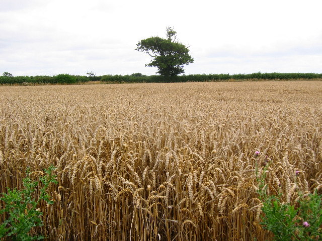
Image: © Stephen Horncastle Taken: 20 Aug 2005
The A165 cuts across the bottom SW corner of the grid square. This is a typical view of this area taken from near the turn off for the village of Arnold.
Images are licensed for reuse under creativecommons.org/licenses/by-sa/2.0
Image Location


Leaflet Map data © OpenStreetMap
Latitude
53.855078
Longitude
-0.282011