Allt y Parc
Introduction
The photograph on this page of Allt y Parc by Alan Richards as part of the Geograph project.
The Geograph project started in 2005 with the aim of publishing, organising and preserving representative images for every square kilometre of Great Britain, Ireland and the Isle of Man.

There are currently over 7.5m images from over 14,400 individuals and you can help contribute to the project by visiting https://www.geograph.org.uk
Allt y Parc
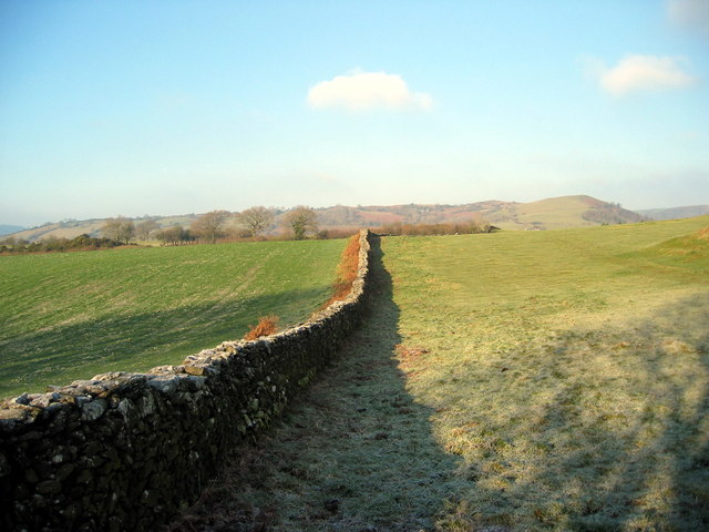
Image: © Alan Richards Taken: 28 Dec 2005
Llwybr cyhoeddus yn dilyn hen wal sych ar Allt y Parc. A public footpath following an old dry wall on Allt y Parc (trans. wooded hillside of the park)
Images are licensed for reuse under creativecommons.org/licenses/by-sa/2.0
Image Location
Latitude
51.951642
Longitude
-3.920259