Closure of Melton Road
Introduction
The photograph on this page of Closure of Melton Road by Mat Fascione as part of the Geograph project.
The Geograph project started in 2005 with the aim of publishing, organising and preserving representative images for every square kilometre of Great Britain, Ireland and the Isle of Man.

There are currently over 7.5m images from over 14,400 individuals and you can help contribute to the project by visiting https://www.geograph.org.uk
Closure of Melton Road
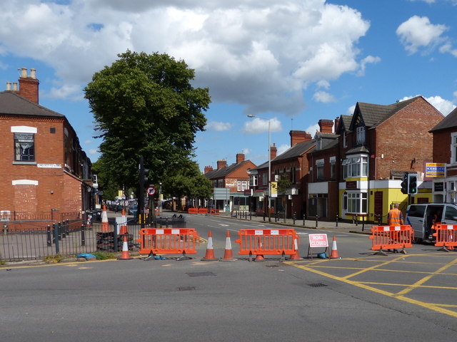
Image: © Mat Fascione Taken: 9 Aug 2014
At the junction of Checketts Road and Marfitt Street. The closure was due to a massive fire at the Premier Works building further along Melton Road at the corner with Woodbridge Road. The fire happened on the morning of August 7th 2014, this was two days after the fire and the building was being demolished.
Images are licensed for reuse under creativecommons.org/licenses/by-sa/2.0
Image Location
Latitude
52.65743
Longitude
-1.116625