Water Lane houses, Salisbury
Introduction
The photograph on this page of Water Lane houses, Salisbury by Jaggery as part of the Geograph project.
The Geograph project started in 2005 with the aim of publishing, organising and preserving representative images for every square kilometre of Great Britain, Ireland and the Isle of Man.

There are currently over 7.5m images from over 14,400 individuals and you can help contribute to the project by visiting https://www.geograph.org.uk
Water Lane houses, Salisbury
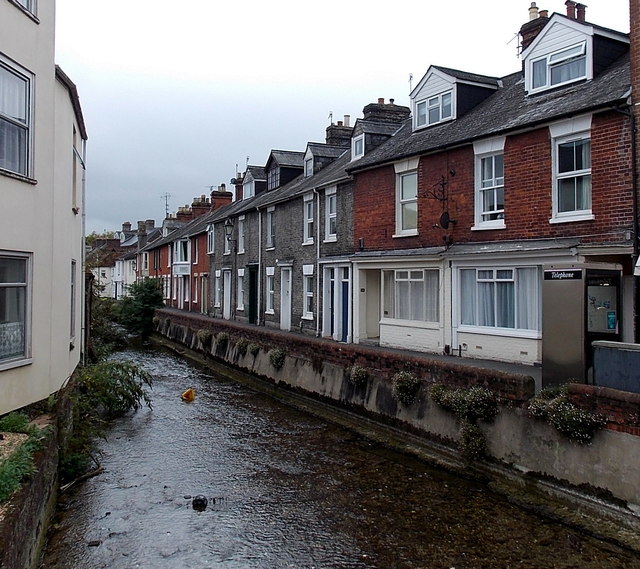
Image: © Jaggery Taken: 21 Sep 2013
Looking south from Fisherton Street. The channel connects the River Avon with the River Nadder (ahead).
Images are licensed for reuse under creativecommons.org/licenses/by-sa/2.0
Image Location
Latitude
51.069343
Longitude
-1.801568