Defibrillation Station
Introduction
The photograph on this page of Defibrillation Station by M J Richardson as part of the Geograph project.
The Geograph project started in 2005 with the aim of publishing, organising and preserving representative images for every square kilometre of Great Britain, Ireland and the Isle of Man.

There are currently over 7.5m images from over 14,400 individuals and you can help contribute to the project by visiting https://www.geograph.org.uk
Defibrillation Station
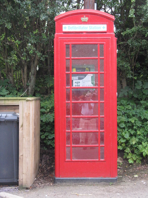
Image: © M J Richardson Taken: 8 Aug 2014
An unusual use for a redundant telephone box. On Main Street, Oxton. I wonder how often it has been used, and how it is known that it is there? It is still shown as a telephone on the larger-scale OS maps.
Images are licensed for reuse under creativecommons.org/licenses/by-sa/2.0
Image Location
Latitude
55.77202
Longitude
-2.803984