Cobbs Croft, Chalkers Lane
Introduction
The photograph on this page of Cobbs Croft, Chalkers Lane by Simon Carey as part of the Geograph project.
The Geograph project started in 2005 with the aim of publishing, organising and preserving representative images for every square kilometre of Great Britain, Ireland and the Isle of Man.

There are currently over 7.5m images from over 14,400 individuals and you can help contribute to the project by visiting https://www.geograph.org.uk
Cobbs Croft, Chalkers Lane
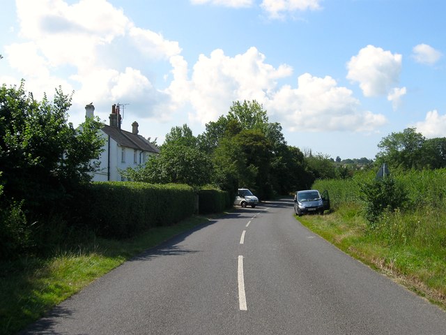
Image: © Simon Carey Taken: 7 Aug 2014
A pair of 19th century cottages, they are mentioned on Hurstpierpoint's 1842 tithe map, a little to the north of the village edge.
Images are licensed for reuse under creativecommons.org/licenses/by-sa/2.0
Image Location
Latitude
50.944535
Longitude
-0.173404