The M4 at Brentford
Introduction
The photograph on this page of The M4 at Brentford by Bill Boaden as part of the Geograph project.
The Geograph project started in 2005 with the aim of publishing, organising and preserving representative images for every square kilometre of Great Britain, Ireland and the Isle of Man.

There are currently over 7.5m images from over 14,400 individuals and you can help contribute to the project by visiting https://www.geograph.org.uk
The M4 at Brentford
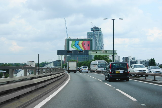
Image: © Bill Boaden Taken: 1 Aug 2014
It is now on a flyover over the A4. A lot of development has taken place changing this approach to London quite dramatically.
Images are licensed for reuse under creativecommons.org/licenses/by-sa/2.0
Image Location
Latitude
51.490182
Longitude
-0.308545