The Rock Cutting,Tettenhall, looking towards Newbridge
Introduction
The photograph on this page of The Rock Cutting,Tettenhall, looking towards Newbridge by John M as part of the Geograph project.
The Geograph project started in 2005 with the aim of publishing, organising and preserving representative images for every square kilometre of Great Britain, Ireland and the Isle of Man.

There are currently over 7.5m images from over 14,400 individuals and you can help contribute to the project by visiting https://www.geograph.org.uk
The Rock Cutting,Tettenhall, looking towards Newbridge
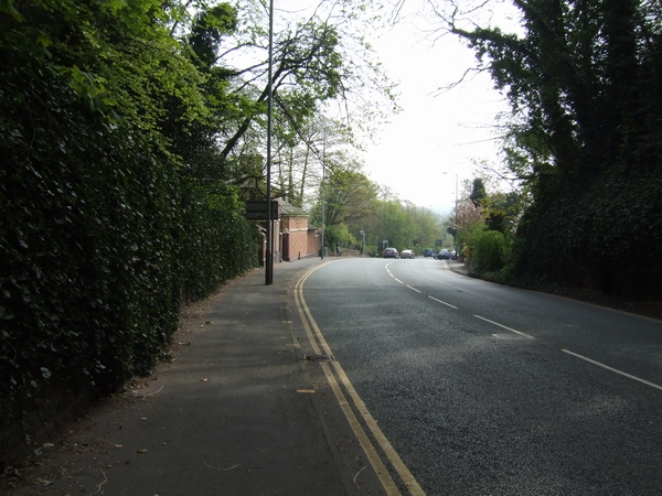
Image: © John M Taken: 21 Apr 2007
The cutting for the turnpike was opened in 1823. Image A painting in 1837 shows the same view. http://www.search.staffspasttrack.org.uk/engine/resource/default.asp?txtKeywords=&lstContext=&lstResourceType=&txtDateFrom=&txtDateTo=&X1=386358&Y1=298709&X2=390543&Y2=302195&scale=2&originator=%2Fengine%2FGIS%2Fdefault%5Fhndlr%2Easp&page=3&records=28&direction=1&pointer=20907&text=0&resource=10302 Open countryside stretched between here and the town centre. The racecourse would have been on what is now the West Park. Trees mark the boundary of the Lower Green.
Images are licensed for reuse under creativecommons.org/licenses/by-sa/2.0
Image Location
Latitude
52.598577
Longitude
-2.164131