Crumlin Road approaching the junction with the now permanently closed Flax Road
Introduction
The photograph on this page of Crumlin Road approaching the junction with the now permanently closed Flax Road by Eric Jones as part of the Geograph project.
The Geograph project started in 2005 with the aim of publishing, organising and preserving representative images for every square kilometre of Great Britain, Ireland and the Isle of Man.

There are currently over 7.5m images from over 14,400 individuals and you can help contribute to the project by visiting https://www.geograph.org.uk
Crumlin Road approaching the junction with the now permanently closed Flax Road
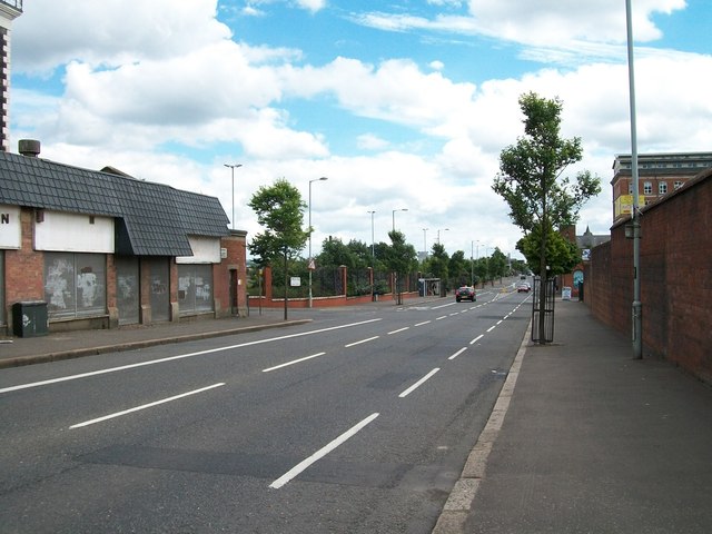
Image: © Eric Jones Taken: 21 Jul 2014
Flax Road linked the Ardoyne and the Greater Shankill area. This road was a major flashpoint and since the 1980s a permanent interface barrier closes off the road.
Images are licensed for reuse under creativecommons.org/licenses/by-sa/2.0
Image Location
Latitude
54.61162
Longitude
-5.957211