Erection of two residential units
Introduction
The photograph on this page of Erection of two residential units by John Baker as part of the Geograph project.
The Geograph project started in 2005 with the aim of publishing, organising and preserving representative images for every square kilometre of Great Britain, Ireland and the Isle of Man.

There are currently over 7.5m images from over 14,400 individuals and you can help contribute to the project by visiting https://www.geograph.org.uk
Erection of two residential units
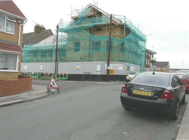
Image: © John Baker Taken: 27 Jul 2014
Planning permission has been granted by Swale Borough Council under application number SW/12/1226 for the “plot at junction of Thomas Road and Cowper Road, Murston”.
Images are licensed for reuse under creativecommons.org/licenses/by-sa/2.0
Image Location
Latitude
51.338341
Longitude
0.751211