Field near Botolph Claydon
Introduction
The photograph on this page of Field near Botolph Claydon by Andy Gryce as part of the Geograph project.
The Geograph project started in 2005 with the aim of publishing, organising and preserving representative images for every square kilometre of Great Britain, Ireland and the Isle of Man.

There are currently over 7.5m images from over 14,400 individuals and you can help contribute to the project by visiting https://www.geograph.org.uk
Field near Botolph Claydon
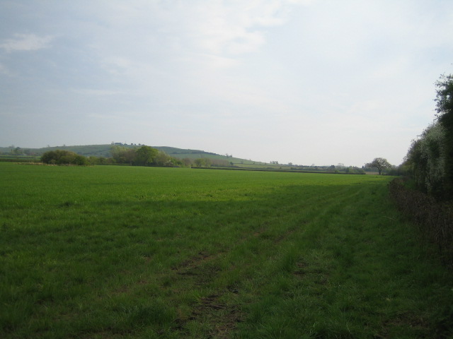
Image: © Andy Gryce Taken: 22 Apr 2007
The hill in the far distance on the left is Quainton Hill, 187m high, which is one of the highest points in north Buckinghamshire. The buildings in the middle distance on the right is Hill End Farm, marked on the OS 1:25,000 map.
Images are licensed for reuse under creativecommons.org/licenses/by-sa/2.0
Image Location
Latitude
51.903368
Longitude
-0.919419