Ruckford Mill Cottages
Introduction
The photograph on this page of Ruckford Mill Cottages by Simon Carey as part of the Geograph project.
The Geograph project started in 2005 with the aim of publishing, organising and preserving representative images for every square kilometre of Great Britain, Ireland and the Isle of Man.

There are currently over 7.5m images from over 14,400 individuals and you can help contribute to the project by visiting https://www.geograph.org.uk
Ruckford Mill Cottages
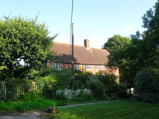
Image: © Simon Carey Taken: 7 Aug 2014
Located to the immediate west of Image which lies just out of shot behind the trees to the right. They were built in the 18th century originally as the mill house and later subdivided.
Images are licensed for reuse under creativecommons.org/licenses/by-sa/2.0
Image Location


Leaflet Map data © OpenStreetMap
Latitude
50.946765
Longitude
-0.160788