East and West Lowe
Introduction
The photograph on this page of East and West Lowe by Simon Carey as part of the Geograph project.
The Geograph project started in 2005 with the aim of publishing, organising and preserving representative images for every square kilometre of Great Britain, Ireland and the Isle of Man.

There are currently over 7.5m images from over 14,400 individuals and you can help contribute to the project by visiting https://www.geograph.org.uk
East and West Lowe
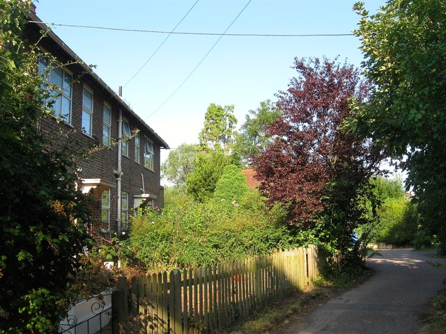
Image: © Simon Carey Taken: 7 Aug 2014
A pair of cottages to the south east of Image that seem to have been constructed in the late 1940s or early 1950s.
Images are licensed for reuse under creativecommons.org/licenses/by-sa/2.0
Image Location
Latitude
50.946305
Longitude
-0.160095