Playing fields, Hurstpierpoint College
Introduction
The photograph on this page of Playing fields, Hurstpierpoint College by Simon Carey as part of the Geograph project.
The Geograph project started in 2005 with the aim of publishing, organising and preserving representative images for every square kilometre of Great Britain, Ireland and the Isle of Man.

There are currently over 7.5m images from over 14,400 individuals and you can help contribute to the project by visiting https://www.geograph.org.uk
Playing fields, Hurstpierpoint College
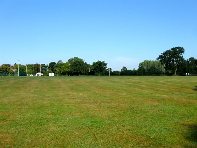
Image: © Simon Carey Taken: 7 Aug 2014
Not given names on Hurstpierpoint's 1842 tithe map and bounded by Ruckford house and Image to the south, Malthouse Lane to the west and a small clutch of housing around Ruckford Mill to the north.
Images are licensed for reuse under creativecommons.org/licenses/by-sa/2.0
Image Location
Latitude
50.945698
Longitude
-0.161542