The Egerton Arms, Chelford
Introduction
The photograph on this page of The Egerton Arms, Chelford by Jeff Buck as part of the Geograph project.
The Geograph project started in 2005 with the aim of publishing, organising and preserving representative images for every square kilometre of Great Britain, Ireland and the Isle of Man.

There are currently over 7.5m images from over 14,400 individuals and you can help contribute to the project by visiting https://www.geograph.org.uk
The Egerton Arms, Chelford
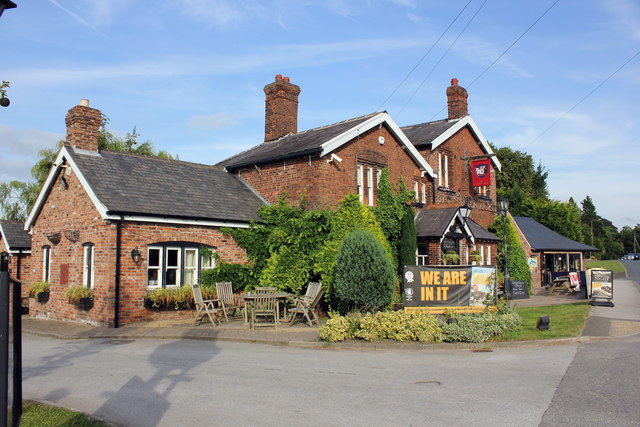
Image: © Jeff Buck Taken: 7 Aug 2014
The Egerton Arms at Chelford dates back to the 16th century when it was a coach house and pub. http://www.chelfordegertonarms.co.uk/
Images are licensed for reuse under creativecommons.org/licenses/by-sa/2.0
Image Location
Latitude
53.27343
Longitude
-2.290569