Higher Langman's Farm
Introduction
The photograph on this page of Higher Langman's Farm by Derek Harper as part of the Geograph project.
The Geograph project started in 2005 with the aim of publishing, organising and preserving representative images for every square kilometre of Great Britain, Ireland and the Isle of Man.

There are currently over 7.5m images from over 14,400 individuals and you can help contribute to the project by visiting https://www.geograph.org.uk
Higher Langman's Farm
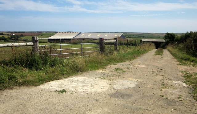
Image: © Derek Harper Taken: 7 Aug 2014
I'm not sure there was ever a farmhouse here, which makes it odd that the collection of barns is named on the maps.
Images are licensed for reuse under creativecommons.org/licenses/by-sa/2.0
Image Location


Leaflet Map data © OpenStreetMap
Latitude
50.28401
Longitude
-3.850493