Burnt House
Introduction
The photograph on this page of Burnt House by jeff collins as part of the Geograph project.
The Geograph project started in 2005 with the aim of publishing, organising and preserving representative images for every square kilometre of Great Britain, Ireland and the Isle of Man.

There are currently over 7.5m images from over 14,400 individuals and you can help contribute to the project by visiting https://www.geograph.org.uk
Burnt House
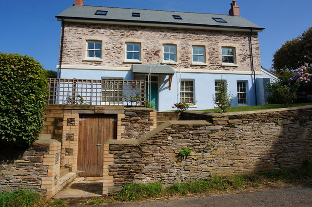
Image: © jeff collins Taken: 6 Aug 2014
On the edge of East Buckland village. Totally renovated some years ago now a holiday let.
Images are licensed for reuse under creativecommons.org/licenses/by-sa/2.0
Image Location
Latitude
50.279776
Longitude
-3.85089