Blaen-y-myarth houses in Llangynidr
Introduction
The photograph on this page of Blaen-y-myarth houses in Llangynidr by Jaggery as part of the Geograph project.
The Geograph project started in 2005 with the aim of publishing, organising and preserving representative images for every square kilometre of Great Britain, Ireland and the Isle of Man.

There are currently over 7.5m images from over 14,400 individuals and you can help contribute to the project by visiting https://www.geograph.org.uk
Blaen-y-myarth houses in Llangynidr
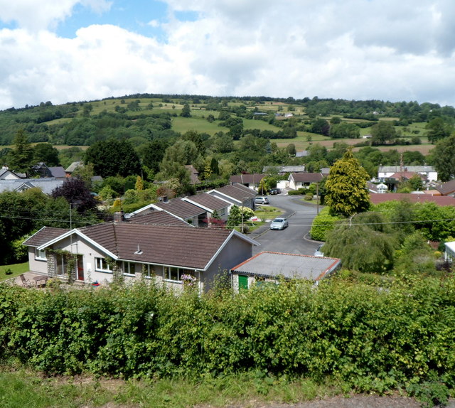
Image: © Jaggery Taken: 17 Jun 2012
Blaen-y-myarth is a cul-de-sac on the west side of the B4560 Forge Road. Viewed from a path alongside the Monmouthshire & Brecon Canal.
Images are licensed for reuse under creativecommons.org/licenses/by-sa/2.0
Image Location
Latitude
51.873171
Longitude
-3.234027