Hollow Dyke
Introduction
The photograph on this page of Hollow Dyke by Simon Carey as part of the Geograph project.
The Geograph project started in 2005 with the aim of publishing, organising and preserving representative images for every square kilometre of Great Britain, Ireland and the Isle of Man.

There are currently over 7.5m images from over 14,400 individuals and you can help contribute to the project by visiting https://www.geograph.org.uk
Hollow Dyke
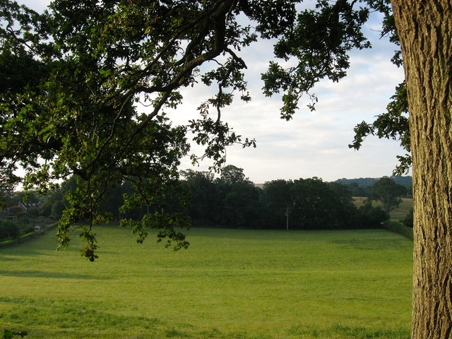
Image: © Simon Carey Taken: 7 Aug 2014
The name of the field according to Hurstpierpoint's 1842 tithe map that has been merged with neighbouring Image to form a larger unit. To the south is Tenementfield Plantation.
Images are licensed for reuse under creativecommons.org/licenses/by-sa/2.0
Image Location


Leaflet Map data © OpenStreetMap
Latitude
50.929106
Longitude
-0.170166