Cards Place, High Street, Hurstpierpoint
Introduction
The photograph on this page of Cards Place, High Street, Hurstpierpoint by Simon Carey as part of the Geograph project.
The Geograph project started in 2005 with the aim of publishing, organising and preserving representative images for every square kilometre of Great Britain, Ireland and the Isle of Man.

There are currently over 7.5m images from over 14,400 individuals and you can help contribute to the project by visiting https://www.geograph.org.uk
Cards Place, High Street, Hurstpierpoint
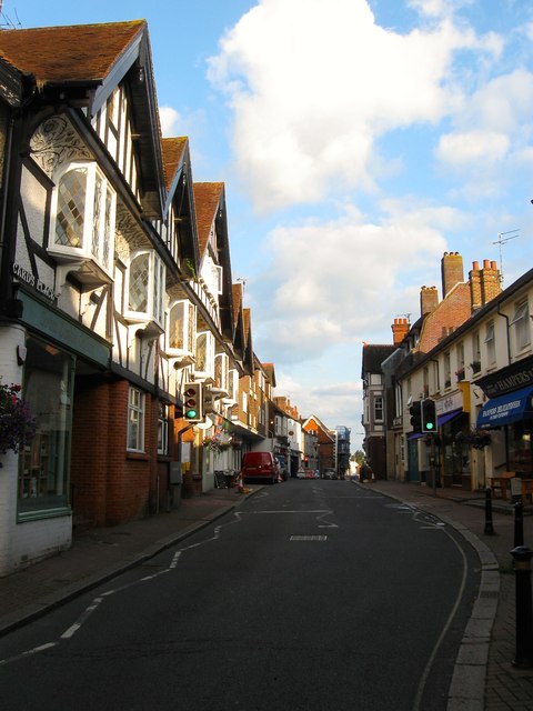
Image: © Simon Carey Taken: 7 Aug 2014
The name of the parade of shops, numbered 90-100 High Street, on the left built in 1900. In the distance is Image The village has a healthy high street with a number of small independent businesses and still possess their own butcher, fishmonger and grocer. The only major supermarket chain is a small Co-op.
Images are licensed for reuse under creativecommons.org/licenses/by-sa/2.0
Image Location
Latitude
50.932703
Longitude
-0.17586