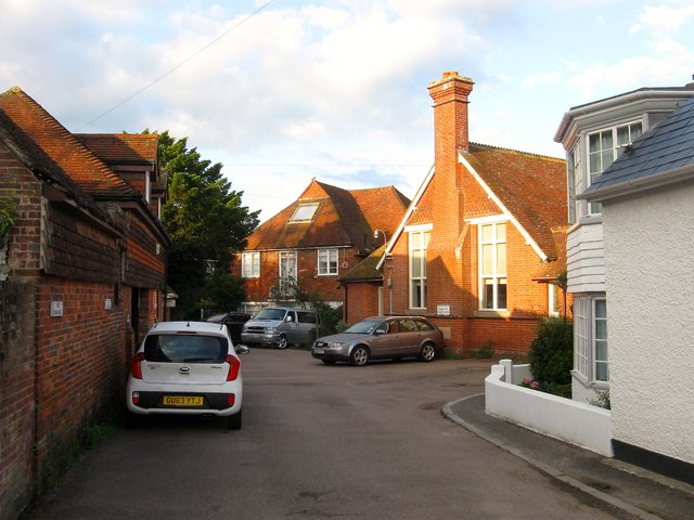
West Furlong Lane, Hurstpierpoint
Introduction
The photograph on this page of West Furlong Lane, Hurstpierpoint by Simon Carey as part of the Geograph project.
The Geograph project started in 2005 with the aim of publishing, organising and preserving representative images for every square kilometre of Great Britain, Ireland and the Isle of Man.
There are currently over 7.5m images from over 14,400 individuals and you can help contribute to the project by visiting https://www.geograph.org.uk

Image: © Simon Carey Taken: 7 Aug 2014
Viewed at the point where the lane takes a ninety degree turn. On the right is Yeomans, then moving left it is the Parish Room, the former village hall built in the late victorian era and now converted into a residence, whilst to its left is Carys which was built after the Second World War.

