Queensferry Land Drainage Pumping Station
Introduction
The photograph on this page of Queensferry Land Drainage Pumping Station by John S Turner as part of the Geograph project.
The Geograph project started in 2005 with the aim of publishing, organising and preserving representative images for every square kilometre of Great Britain, Ireland and the Isle of Man.

There are currently over 7.5m images from over 14,400 individuals and you can help contribute to the project by visiting https://www.geograph.org.uk
Queensferry Land Drainage Pumping Station
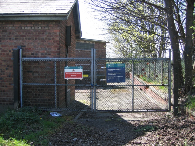
Image: © John S Turner Taken: 11 Apr 2007
This pumping station is adjacent to the A494 just before it crosses the modern concrete bridge at Queensferry. The road is on the right, and is rising as it heads towards the river, behind the camera. The riverside footpath comes away from the river to this point, turns left to avoid the stream outflow, and then returns to the river bank.
Images are licensed for reuse under creativecommons.org/licenses/by-sa/2.0
Image Location
Latitude
53.209053
Longitude
-3.015281