Lamb & Flag near Abergavenny
Introduction
The photograph on this page of Lamb & Flag near Abergavenny by Jaggery as part of the Geograph project.
The Geograph project started in 2005 with the aim of publishing, organising and preserving representative images for every square kilometre of Great Britain, Ireland and the Isle of Man.

There are currently over 7.5m images from over 14,400 individuals and you can help contribute to the project by visiting https://www.geograph.org.uk
Lamb & Flag near Abergavenny
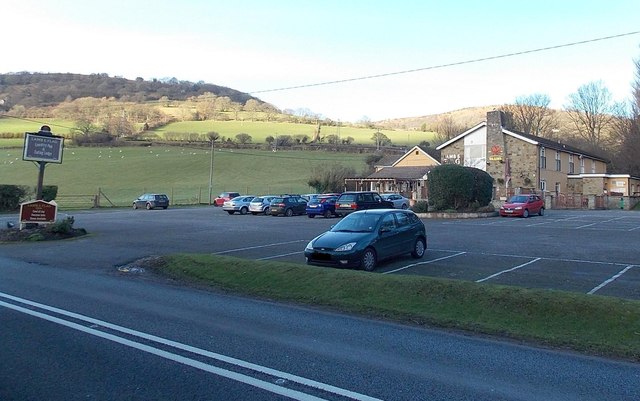
Image: © Jaggery Taken: 7 Feb 2014
Located on the north side of the A40 Brecon Road just beyond the western edge of Abergavenny, for centuries the Lamb & Flag was a coaching inn on the principal route from SW Wales to London. Its modern appearance, outside and inside, dates from a major refurbishment in 2001. The present-day Lamb & Flag is a pub and restaurant, with en-suite accommodation. Or, as its name sign on the left shows, country pub & eating lodge.
Images are licensed for reuse under creativecommons.org/licenses/by-sa/2.0
Image Location
Latitude
51.83149
Longitude
-3.044372