High Curley Hill viewing map
Introduction
The photograph on this page of High Curley Hill viewing map by Len Williams as part of the Geograph project.
The Geograph project started in 2005 with the aim of publishing, organising and preserving representative images for every square kilometre of Great Britain, Ireland and the Isle of Man.

There are currently over 7.5m images from over 14,400 individuals and you can help contribute to the project by visiting https://www.geograph.org.uk
High Curley Hill viewing map
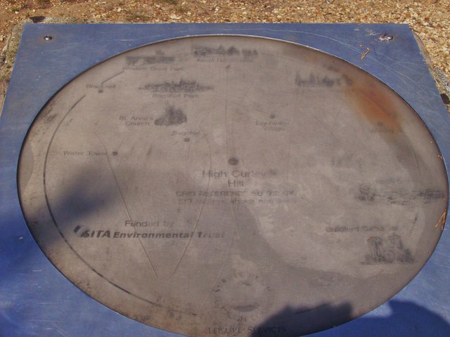
Image: © Len Williams Taken: 6 Aug 2014
This map is situated on the plinth at the summit of High Curley hill. Some of the places identified are Windsor Great Park, Ascot Race Course and Bagshot Park House. Refer to picture Image for the actual view.
Images are licensed for reuse under creativecommons.org/licenses/by-sa/2.0
Image Location
Latitude
51.346528
Longitude
-0.691339