Walking to High Curley
Introduction
The photograph on this page of Walking to High Curley by Len Williams as part of the Geograph project.
The Geograph project started in 2005 with the aim of publishing, organising and preserving representative images for every square kilometre of Great Britain, Ireland and the Isle of Man.

There are currently over 7.5m images from over 14,400 individuals and you can help contribute to the project by visiting https://www.geograph.org.uk
Walking to High Curley
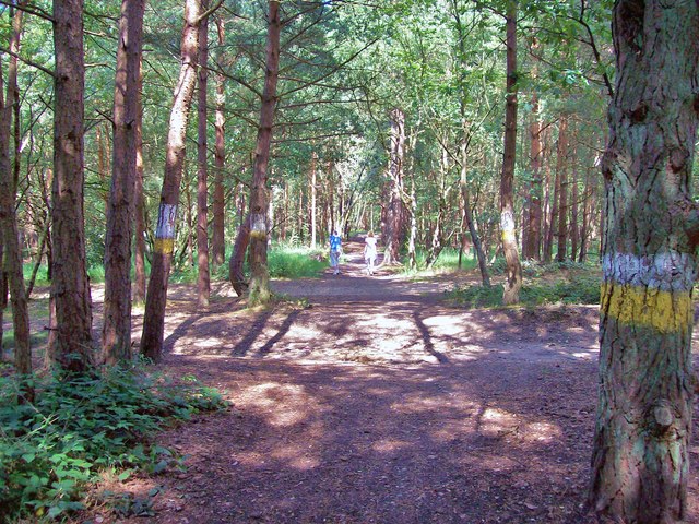
Image: © Len Williams Taken: 6 Aug 2014
This picture shows the path from The Maultway to High Curley hill as it crosses some of the tracks cleared by the army for training 'rough road' drivers. The area now seems to be used exclusively by car clubs and scrambling associations. Refer to picture Image for the point where the track crosses from the MoD land to Lighwater Country Park.
Images are licensed for reuse under creativecommons.org/licenses/by-sa/2.0
Image Location
Latitude
51.339791
Longitude
-0.700002