Roborough Lane, Ashburton
Introduction
The photograph on this page of Roborough Lane, Ashburton by David Smith as part of the Geograph project.
The Geograph project started in 2005 with the aim of publishing, organising and preserving representative images for every square kilometre of Great Britain, Ireland and the Isle of Man.

There are currently over 7.5m images from over 14,400 individuals and you can help contribute to the project by visiting https://www.geograph.org.uk
Roborough Lane, Ashburton
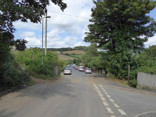
Image: © David Smith Taken: 6 Aug 2014
Once it was a lane, now it is lined with houses. On the left, by the lamppost, is the start of a footpath, the Terrace Walk. It connects with a further path on the right
Images are licensed for reuse under creativecommons.org/licenses/by-sa/2.0
Image Location
Latitude
50.521747
Longitude
-3.75002