The Band leads the Procession down Tring High Street to the Memorial Garden
Introduction
The photograph on this page of The Band leads the Procession down Tring High Street to the Memorial Garden by Chris Reynolds as part of the Geograph project.
The Geograph project started in 2005 with the aim of publishing, organising and preserving representative images for every square kilometre of Great Britain, Ireland and the Isle of Man.

There are currently over 7.5m images from over 14,400 individuals and you can help contribute to the project by visiting https://www.geograph.org.uk
The Band leads the Procession down Tring High Street to the Memorial Garden
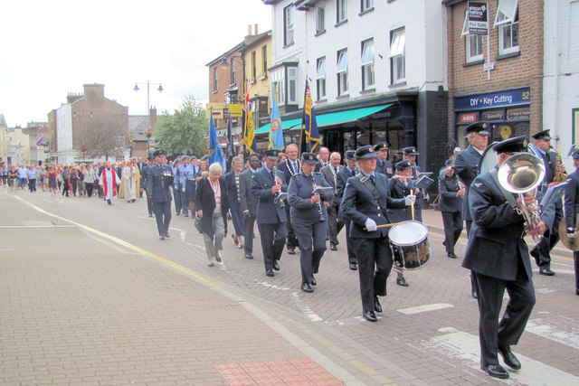
Image: © Chris Reynolds Taken: 4 Aug 2014
The shops in the background are Victorian or older.
Images are licensed for reuse under creativecommons.org/licenses/by-sa/2.0
Image Location


Leaflet Map data © OpenStreetMap
Latitude
51.794061
Longitude
-0.660011