Ger Esgair Llaethdy / Near Esgair Llaethdy
Introduction
The photograph on this page of Ger Esgair Llaethdy / Near Esgair Llaethdy by Alan Richards as part of the Geograph project.
The Geograph project started in 2005 with the aim of publishing, organising and preserving representative images for every square kilometre of Great Britain, Ireland and the Isle of Man.

There are currently over 7.5m images from over 14,400 individuals and you can help contribute to the project by visiting https://www.geograph.org.uk
Ger Esgair Llaethdy / Near Esgair Llaethdy
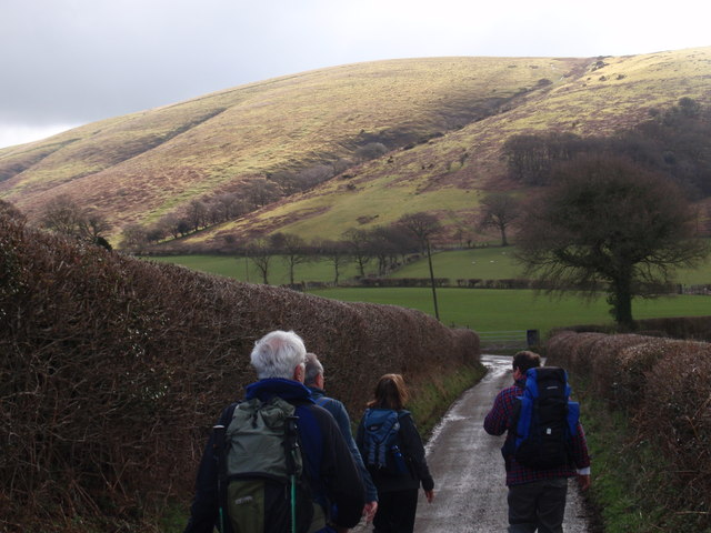
Image: © Alan Richards Taken: 4 Apr 2010
Cerddwyr yn agosau at gyffordd Ffarm Esgair Llaethdy gyda llethrau Mynydd Myddfai yn y pellter. Walkers approaching Esgair Llaethdy Farm (trans. dairy ridge) junction with the slopes of Mynydd Myddfai (trans. mountain of bowl shaped land?) in the background.
Images are licensed for reuse under creativecommons.org/licenses/by-sa/2.0
Image Location
Latitude
51.949159
Longitude
-3.774784