Foot/Cyclepath under relief road at Radipole
Introduction
The photograph on this page of Foot/Cyclepath under relief road at Radipole by John Stephen as part of the Geograph project.
The Geograph project started in 2005 with the aim of publishing, organising and preserving representative images for every square kilometre of Great Britain, Ireland and the Isle of Man.

There are currently over 7.5m images from over 14,400 individuals and you can help contribute to the project by visiting https://www.geograph.org.uk
Foot/Cyclepath under relief road at Radipole
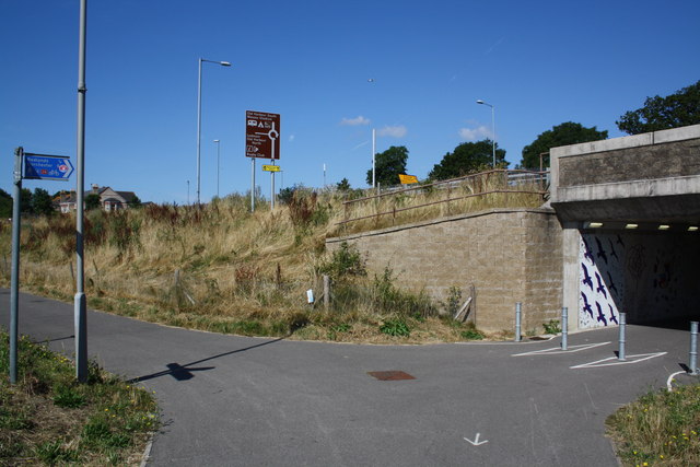
Image: © John Stephen Taken: 29 Jul 2014
This footpath passes right under the relief road and goes towards Redlands, Broadwey and Weymouth. The Manor roundabout signs show the way to Weymouth via Dorchester Road to the left, or Weymouth Way straight on.
Images are licensed for reuse under creativecommons.org/licenses/by-sa/2.0
Image Location


Leaflet Map data © OpenStreetMap
Latitude
50.634698
Longitude
-2.464448