McKelvey burying ground, Knockbreda churchyard, Belfast
Introduction
The photograph on this page of McKelvey burying ground, Knockbreda churchyard, Belfast by Albert Bridge as part of the Geograph project.
The Geograph project started in 2005 with the aim of publishing, organising and preserving representative images for every square kilometre of Great Britain, Ireland and the Isle of Man.

There are currently over 7.5m images from over 14,400 individuals and you can help contribute to the project by visiting https://www.geograph.org.uk
McKelvey burying ground, Knockbreda churchyard, Belfast
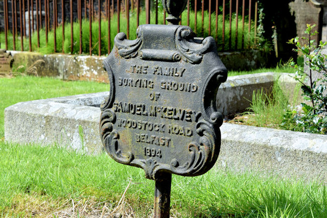
Image: © Albert Bridge Taken: 6 Aug 2014
A cast-iron grave marker, similar to this one made by the Millfield Foundry Image, with the following inscription “THE FAMILY BURYING GROUND OF SAMUEL McKELVEY WOODSTOCK ROAD BELFAST 1894”.
Images are licensed for reuse under creativecommons.org/licenses/by-sa/2.0
Image Location
Latitude
54.561527
Longitude
-5.912406