The Church Road, Newtownbreda, Belfast (August 2014)
Introduction
The photograph on this page of The Church Road, Newtownbreda, Belfast (August 2014) by Albert Bridge as part of the Geograph project.
The Geograph project started in 2005 with the aim of publishing, organising and preserving representative images for every square kilometre of Great Britain, Ireland and the Isle of Man.

There are currently over 7.5m images from over 14,400 individuals and you can help contribute to the project by visiting https://www.geograph.org.uk
The Church Road, Newtownbreda, Belfast (August 2014)
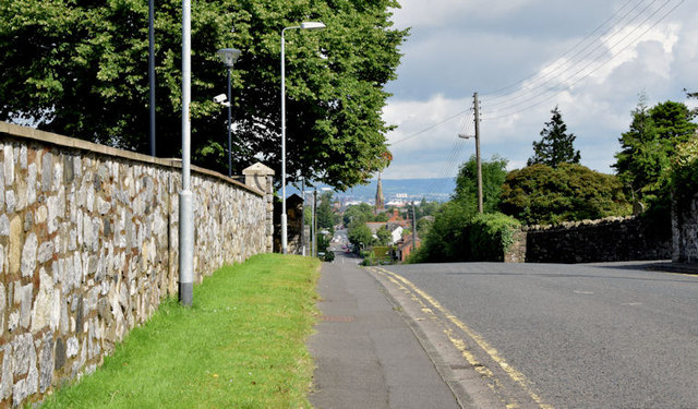
Image: © Albert Bridge Taken: 6 Aug 2014
A suburban road, bypassed by the Saintfield Road, which has the distinction of being stopped up at both ends (Image is behind me). Access to/from the Saintfield Road is by way of Upper Galwally (north) and Purdy’s Lane (south). This view is inward with the wall of Belvoir Park golf course on the left.
Images are licensed for reuse under creativecommons.org/licenses/by-sa/2.0
Image Location
Latitude
54.561897
Longitude
-5.913006