The old Bournemouth Centre for Community Arts (6 of 12)
Introduction
The photograph on this page of The old Bournemouth Centre for Community Arts (6 of 12) by Mike Searle as part of the Geograph project.
The Geograph project started in 2005 with the aim of publishing, organising and preserving representative images for every square kilometre of Great Britain, Ireland and the Isle of Man.

There are currently over 7.5m images from over 14,400 individuals and you can help contribute to the project by visiting https://www.geograph.org.uk
The old Bournemouth Centre for Community Arts (6 of 12)
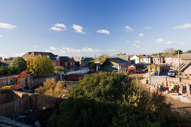
Image: © Mike Searle Taken: 22 Nov 2013
The view to the northwest of this part of the demolition site, showing it completely levelled. More reclaimed bricks are being stacked to the right of the picture. The old schoolhouse in the far distance is being retained and refurbished as a creative hub. Image
Images are licensed for reuse under creativecommons.org/licenses/by-sa/2.0
Image Location
Latitude
50.728316
Longitude
-1.837014