Woodhall Farm Pond
Introduction
The photograph on this page of Woodhall Farm Pond by Mick Garratt as part of the Geograph project.
The Geograph project started in 2005 with the aim of publishing, organising and preserving representative images for every square kilometre of Great Britain, Ireland and the Isle of Man.

There are currently over 7.5m images from over 14,400 individuals and you can help contribute to the project by visiting https://www.geograph.org.uk
Woodhall Farm Pond
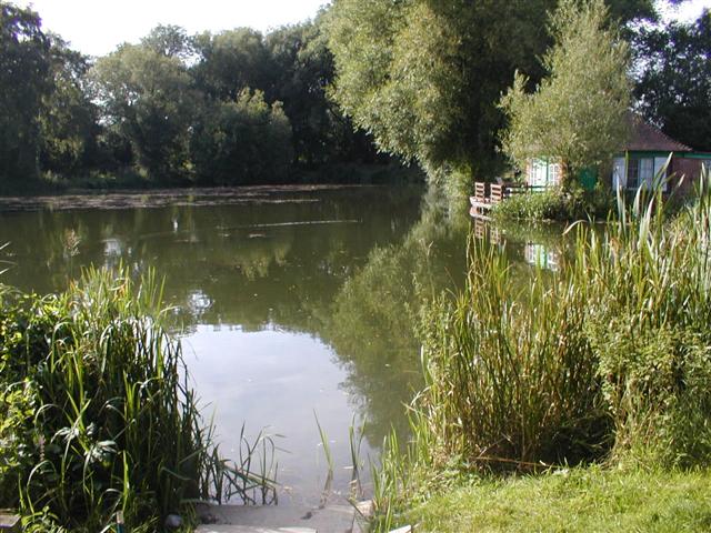
Image: © Mick Garratt Taken: 21 Aug 2005
One of a pair of ponds popular for coarse fishing. "No barbed hooks allowed".
Images are licensed for reuse under creativecommons.org/licenses/by-sa/2.0
Image Location


Leaflet Map data © OpenStreetMap
Latitude
53.013317
Longitude
-1.230856