Ash Ranges perimeter road
Introduction
The photograph on this page of Ash Ranges perimeter road by Alan Hunt as part of the Geograph project.
The Geograph project started in 2005 with the aim of publishing, organising and preserving representative images for every square kilometre of Great Britain, Ireland and the Isle of Man.

There are currently over 7.5m images from over 14,400 individuals and you can help contribute to the project by visiting https://www.geograph.org.uk
Ash Ranges perimeter road
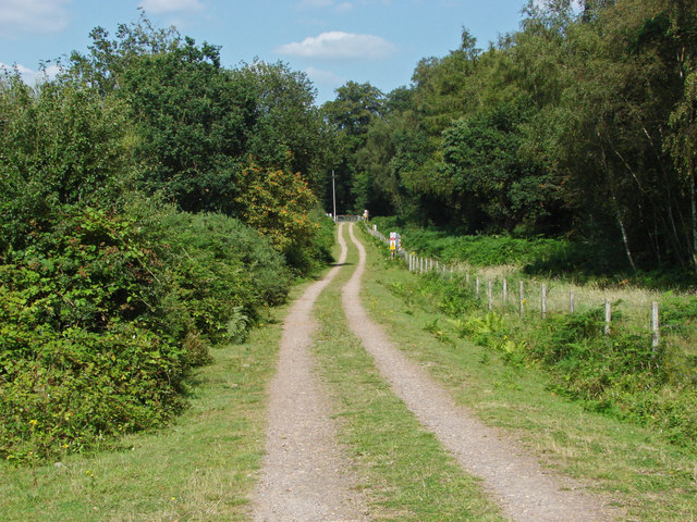
Image: © Alan Hunt Taken: 30 Jul 2014
The perimeter road around the range fence in an area marked on the maps as Slyfield Wood which has now been cleared back to open heath.
Images are licensed for reuse under creativecommons.org/licenses/by-sa/2.0
Image Location
Latitude
51.268087
Longitude
-0.6649