The Green House, Lower Green, Tettenhall
Introduction
The photograph on this page of The Green House, Lower Green, Tettenhall by John M as part of the Geograph project.
The Geograph project started in 2005 with the aim of publishing, organising and preserving representative images for every square kilometre of Great Britain, Ireland and the Isle of Man.

There are currently over 7.5m images from over 14,400 individuals and you can help contribute to the project by visiting https://www.geograph.org.uk
The Green House, Lower Green, Tettenhall
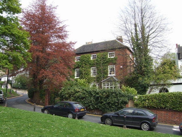
Image: © John M Taken: 21 Apr 2007
Attractive 1794 locally listed building overlooking the Lower Green.
Images are licensed for reuse under creativecommons.org/licenses/by-sa/2.0
Image Location
Latitude
52.598939
Longitude
-2.162656