'Local', Bangor
Introduction
The photograph on this page of 'Local', Bangor by Rossographer as part of the Geograph project.
The Geograph project started in 2005 with the aim of publishing, organising and preserving representative images for every square kilometre of Great Britain, Ireland and the Isle of Man.

There are currently over 7.5m images from over 14,400 individuals and you can help contribute to the project by visiting https://www.geograph.org.uk
'Local', Bangor
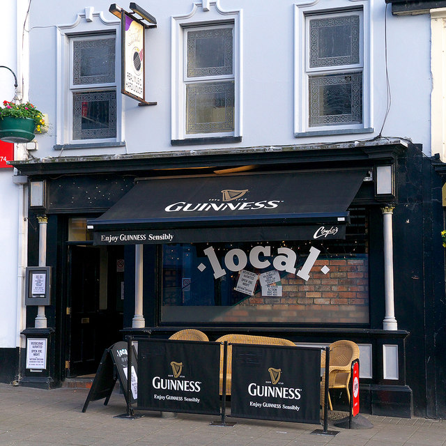
Image: © Rossographer Taken: 10 Jun 2014
The public house 'Coyles' Image closed suddenly in May 2014. The pub was reopened shortly after as the pop-up bar 'Local' for a few weeks. It has since changed again as is now known as the 'Hop House'.
Images are licensed for reuse under creativecommons.org/licenses/by-sa/2.0
Image Location
Latitude
54.663303
Longitude
-5.665075