Church of All Saints, Weston
Introduction
The photograph on this page of Church of All Saints, Weston by Alan Murray-Rust as part of the Geograph project.
The Geograph project started in 2005 with the aim of publishing, organising and preserving representative images for every square kilometre of Great Britain, Ireland and the Isle of Man.

There are currently over 7.5m images from over 14,400 individuals and you can help contribute to the project by visiting https://www.geograph.org.uk
Church of All Saints, Weston
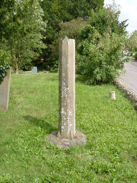
Image: © Alan Murray-Rust Taken: 1 Aug 2014
The sundial in the churchyard. The dial is recorded as inscribed with the date 1795. The pillar is around 5 feet tall which makes the sundial very difficult to read.
Images are licensed for reuse under creativecommons.org/licenses/by-sa/2.0
Image Location
Latitude
53.203267
Longitude
-0.842546