Vine House, Normanton-on-Trent
Introduction
The photograph on this page of Vine House, Normanton-on-Trent by Alan Murray-Rust as part of the Geograph project.
The Geograph project started in 2005 with the aim of publishing, organising and preserving representative images for every square kilometre of Great Britain, Ireland and the Isle of Man.

There are currently over 7.5m images from over 14,400 individuals and you can help contribute to the project by visiting https://www.geograph.org.uk
Vine House, Normanton-on-Trent
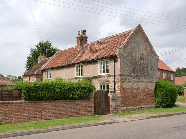
Image: © Alan Murray-Rust Taken: 1 Aug 2014
Late 17th century brick farmhouse, partly rendered. Listed Grade II.
Images are licensed for reuse under creativecommons.org/licenses/by-sa/2.0
Image Location
Latitude
53.209933
Longitude
-0.816461