End of the road named The Brae above Kirkton of Auchterhouse
Introduction
The photograph on this page of End of the road named The Brae above Kirkton of Auchterhouse by Mike Pennington as part of the Geograph project.
The Geograph project started in 2005 with the aim of publishing, organising and preserving representative images for every square kilometre of Great Britain, Ireland and the Isle of Man.

There are currently over 7.5m images from over 14,400 individuals and you can help contribute to the project by visiting https://www.geograph.org.uk
End of the road named The Brae above Kirkton of Auchterhouse
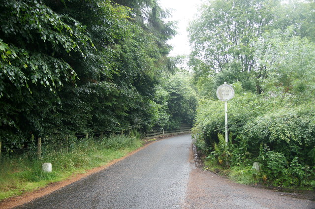
Image: © Mike Pennington Taken: 19 Jul 2014
A curious cul de sac which appears to lead to some quite exclusive houses.
Images are licensed for reuse under creativecommons.org/licenses/by-sa/2.0
Image Location
Latitude
56.540524
Longitude
-3.062504