Gate to field with Viewley above
Introduction
The photograph on this page of Gate to field with Viewley above by Trevor Littlewood as part of the Geograph project.
The Geograph project started in 2005 with the aim of publishing, organising and preserving representative images for every square kilometre of Great Britain, Ireland and the Isle of Man.

There are currently over 7.5m images from over 14,400 individuals and you can help contribute to the project by visiting https://www.geograph.org.uk
Gate to field with Viewley above
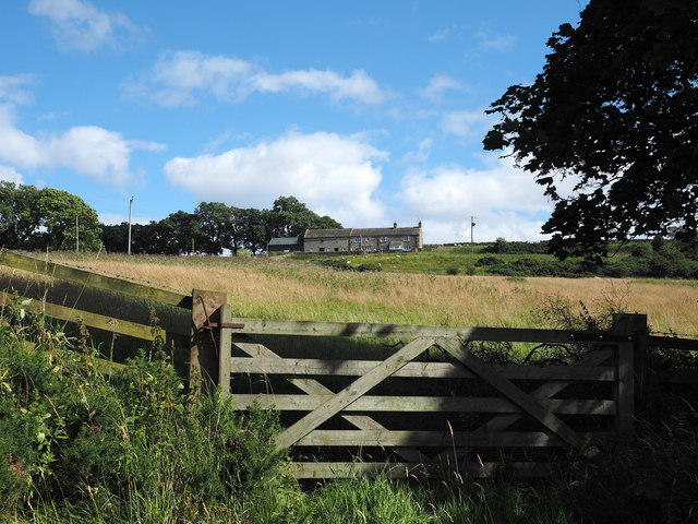
Image: © Trevor Littlewood Taken: 4 Aug 2014
The farm at Viewley lies on the eastern slope in the valley of Devil's Water. The field inside the gate is unkempt rough grazing as is much of the land about the farm.
Images are licensed for reuse under creativecommons.org/licenses/by-sa/2.0
Image Location
Latitude
54.89769
Longitude
-2.110832