To stop them wandering - Painswick, Gloucestershire
Introduction
The photograph on this page of To stop them wandering - Painswick, Gloucestershire by Martin Richard Phelan as part of the Geograph project.
The Geograph project started in 2005 with the aim of publishing, organising and preserving representative images for every square kilometre of Great Britain, Ireland and the Isle of Man.

There are currently over 7.5m images from over 14,400 individuals and you can help contribute to the project by visiting https://www.geograph.org.uk
To stop them wandering - Painswick, Gloucestershire
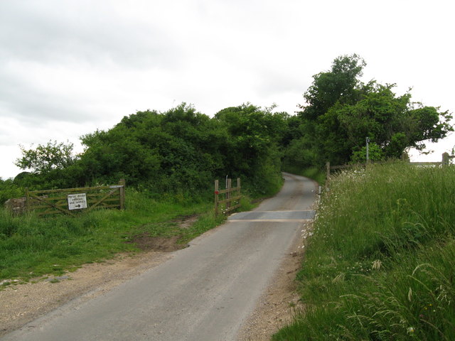
Image: © Martin Richard Phelan Taken: 23 Jun 2013
On this stretch of unfenced road, running beside Spoonbed Hill and Cud Hill to the north of Painswick, an example of one method of controlling the movements of livestock, for their own safety and that of road users. Time taken 5.44 pm BST (British Summer Time). Image Image
Images are licensed for reuse under creativecommons.org/licenses/by-sa/2.0
Image Location
Latitude
51.811046
Longitude
-2.204185